
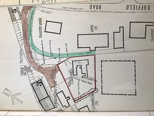
Maps & Land Ownership
The following links are to maps of Little Eaton Parish from 1887 - 1949
They are available on The National Library of Scotland website.
(Please respect their copyright requirements.)
LELHS have a number of maps in our archive. For copyright reasons, we have decided not to add them to our online database.